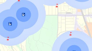
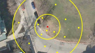
In this course, you will learn how to analyze map data using different data types and methods to answer geographic questions. First, you will learn how to filter a data set using different types of queries to find just the data you need to answer a particular question. Then, we will discuss simple yet powerful analysis methods that use vector data to find spatial relationships within and between data sets. In this section, you will also learn about how to use ModelBuilder, a simple but powerful tool for building analysis flowcharts that can then also be run as models. You will then learn how to find, understand, and use remotely sensed data such as satellite imagery, as a rich source of GIS data. You will then learn how to analyze raster data. Finally, you will complete your own project where you get to try out the new skills and tools you have learned about in this course.


Spatial Analysis and Satellite Imagery in a GIS
This course is part of GIS, Mapping, and Spatial Analysis Specialization

Instructor: Don Boyes
Top Instructor
31,110 already enrolled
Included with 
(613 reviews)
Skills you'll gain
Details to know

Add to your LinkedIn profile
5 assignments
See how employees at top companies are mastering in-demand skills

Build your subject-matter expertise
- Learn new concepts from industry experts
- Gain a foundational understanding of a subject or tool
- Develop job-relevant skills with hands-on projects
- Earn a shareable career certificate

There are 5 modules in this course
What's included
8 videos2 readings2 assignments
What's included
11 videos1 reading1 assignment
What's included
15 videos1 reading1 assignment
What's included
11 videos1 reading1 assignment
What's included
1 peer review
Earn a career certificate
Add this credential to your LinkedIn profile, resume, or CV. Share it on social media and in your performance review.
Instructor

Offered by
Explore more from Environmental Science and Sustainability
 Status: Free Trial
University of Toronto
 Status: Free Trial
University of Toronto


École Polytechnique Fédérale de Lausanne


Coursera Instructor Network
Why people choose Coursera for their career


Learner reviews
613 reviews
- 5 stars
91.51%
- 4 stars
7.17%
- 3 stars
0.81%
- 2 stars
0.16%
- 1 star
0.32%
Showing 3 of 613
Reviewed on Jun 11, 2020
learned lots of things from this course like remote sensing and raster analysis which are very important in real world job. It has enhanced my experience and knowledge about raster data.
Reviewed on Oct 2, 2020
Very good course. Filled with lot of great information. Best part was a review of Remote sensing and satellite imagery which I very much needed.
Reviewed on Dec 3, 2020
Very nice course. If duration of the course is being mentioned in the certificate , it will be highly useful.

Open new doors with Coursera Plus
Unlimited access to 10,000+ world-class courses, hands-on projects, and job-ready certificate programs - all included in your subscription
Advance your career with an online degree
Earn a degree from world-class universities - 100% online
Join over 3,400 global companies that choose Coursera for Business
Upskill your employees to excel in the digital economy
Frequently asked questions
Access to lectures and assignments depends on your type of enrollment. If you take a course in audit mode, you will be able to see most course materials for free. To access graded assignments and to earn a Certificate, you will need to purchase the Certificate experience, during or after your audit. If you don't see the audit option:
The course may not offer an audit option. You can try a Free Trial instead, or apply for Financial Aid.
The course may offer 'Full Course, No Certificate' instead. This option lets you see all course materials, submit required assessments, and get a final grade. This also means that you will not be able to purchase a Certificate experience.
When you enroll in the course, you get access to all of the courses in the Specialization, and you earn a certificate when you complete the work. Your electronic Certificate will be added to your Accomplishments page - from there, you can print your Certificate or add it to your LinkedIn profile. If you only want to read and view the course content, you can audit the course for free.
If you subscribed, you get a 7-day free trial during which you can cancel at no penalty. After that, we don’t give refunds, but you can cancel your subscription at any time. See our full refund policy.
More questions
Financial aid available,

